
Digital Survey and Landscaping Design
Accurate site information and outdoor spaces designed with purpose.
 Practical planning · Technical coordination
A clear plan for better project decisions.
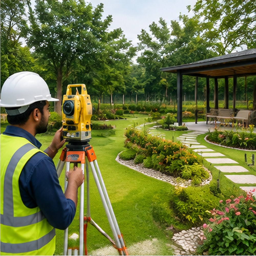
Reliable site information is the starting point for sound planning. Digital survey work records relevant plot, boundary and level information so the design team can understand the site more clearly. Landscaping design then organises outdoor spaces for access, circulation, greenery, drainage and visual appeal.
Survey methods and deliverables are selected according to site size, terrain, visibility, available control points and the intended use of the survey. Boundary ownership should always be checked against the relevant legal records and qualified survey input.
Discuss this serviceScope, deliverables and technical coordination are confirmed according to your site, requirements and agreed proposal.
Scope of work.
Typical tasks and deliverables can include the following, based on the agreed project scope.
Our working process.
A structured sequence keeps communication, design decisions and handover clear.
Review land information and survey objectives
We review the required information, coordinate with the project team and confirm the next action before moving forward.
Visit the site and identify accessible reference points
We review the required information, coordinate with the project team and confirm the next action before moving forward.
Capture measurements and relevant site features
We review the required information, coordinate with the project team and confirm the next action before moving forward.
Process survey information into a usable base plan
We review the required information, coordinate with the project team and confirm the next action before moving forward.
Develop landscape layout and material concepts
We review the required information, coordinate with the project team and confirm the next action before moving forward.
Present drawings and agreed digital deliverables
We review the required information, coordinate with the project team and confirm the next action before moving forward.
Information we may need
Sharing these items early helps us review the project accurately.
- Available deed, mouza map and plot reference information
- Site access and permission for survey work
- Known boundary markers or control points
- Required survey output and drawing format
- Preferred outdoor uses, planting style and maintenance needs
- Known drainage, utility or level constraints
What this service helps you achieve
Practical outcomes that support a more informed project journey.
- A clearer base for architectural and site planning
- Better understanding of levels and existing features
- More purposeful outdoor circulation and usable spaces
- Landscape concepts coordinated with the building
- Digital records that can support later design stages
Frequently asked questions.
Can you survey a vacant plot?
Yes. The survey scope is planned around site access, size and the information required by the design team.
Does a digital survey replace legal boundary verification?
No. Legal ownership and boundary disputes must be verified through the relevant records and competent survey professionals.
Can landscaping be designed with the building plan?
Yes. Coordinated planning helps connect entrances, parking, pathways, planting and drainage.
Related services.
Building Plan and Design
Complete building planning solutions tailored to your land, lifestyle and budget.
View detailsArchitectural and Structural Design
Creative architectural concepts backed by sound structural engineering.
View detailsElectrical and Plumbing Design
Coordinated electrical and plumbing layouts for smooth building operation.
View detailsHave a project in mind?
Talk to our team about Digital Survey and Landscaping Design.